Another Storm Hits California, Though Sierra Nevadas Are Seeing The Worst Of It

It's another wet weekend in Southern California: Coastal and valley regions will see 0.5 to 1 inch of rain, with up to 3 inches possible in the foothills and mountains, according to the latest estimates from the National Weather Service.
In the mountains, snow is expected above 4,500 feet, with 7 to 14 inches expected in areas above an elevation of 6,000 feet.
There's also a 20% chance of an inch of snow along the Grapevine.
Snowstorm hits Sierra Nevada Mountains

The worst impact of the storm has been concentrated in the Sierra Nevada Mountains near Lake Tahoe, where the California Highway Patrol closed I-80 for an especially treacherous stretch of about 100 miles from the California-Nevada border to a reservoir northeast of Sacramento.
The road closure was due to spinouts along the highway, according to Caltrans. State agencies have not yet announced a timeframe for reopening.
In advance of the storm, the National Weather Service warned travelers of life-threatening conditions, including low visibility, up to 12 feet of snow in higher elevations and possible avalanches. As the storm intensified near Donner Pass last night, drivers who didn't heed the warnings and took to the highway got stranded.
UPDATE: Hundreds of cars stranded on I-80 near the Donner Summit…blizzard winds and heaviest snow of the storm starting. It’s a race to see if they can clear the interstate before cars get too buried. @bclemms #california #snow #blizzard #donnerpass #CAwx pic.twitter.com/6vOJkDmfDA
— Jonathan Petramala (@jpetramala) March 2, 2024
How long will this last?
The blizzard brought winds of over 100 miles an hour and whiteout conditions to the highest parts of the mountains. Mammoth Mountain Ski Area is closed on Saturday, due to extreme high winds and blizzard conditions. Yosemite National Park will be closed through Sunday.
Treacherous blizzard conditions just moments ago on I-80 on Donner Pass.
— Colin McCarthy (@US_Stormwatch) March 1, 2024
Zero visibility at times. #LeapDayBlizzard #CAwx pic.twitter.com/PYuojK4CJb
The National Weather Service's blizzard and avalanche warnings extend through Sunday. Forecasters estimate that when all is said and done, as much as 20 inches of snow is likely in lower elevations near Lake Tahoe, with more possible — though fair warning for skiers, at least nine ski resorts in the area are still closed while the severe weather warnings are in effect.

This snowfall will help to replenish the snowpack in the Sierra Nevada Mountains, one of the most vital sources of water for the state. Surveyors measured about 47 inches of snow near Lake Tahoe at the end of February just before the storm, about three-quarters of the yearly average for this point in the year.
-
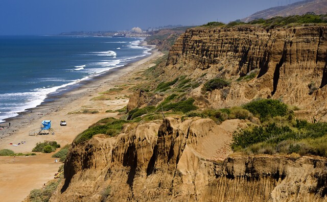
The state's parks department is working with stakeholders, including the military, to rebuild the San Onofre road, but no timeline has been given.
-
Built in 1951, the glass-walled chapel is one of L.A.’s few national historic landmarks. This isn’t the first time it has been damaged by landslides.
-
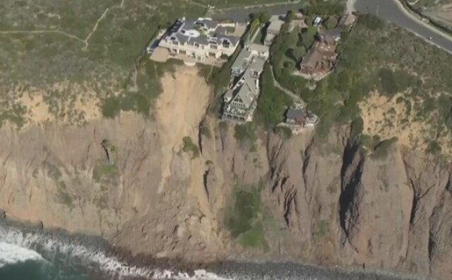
The climate crisis is destabilizing cliffs and making landslides more likely, an expert says.
-
Lifei Huang, 22, went missing near Mt. Baldy on Feb. 4 as the first of two atmospheric rivers was bearing down on the region.
-
Since 2021, volunteers have been planting Joshua tree seedlings in the Mojave Desert burn scar. The next session is slated for later this Spring, according to the National Park Service. Just like previous times, a few camels will be tagging along.
-
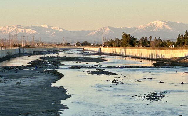
There are three main meteorological reasons why L.A. is so smoggy — all of which are affected when a rainstorm passes through and brings clearer skies.


