LA Region Should Start Drying Out By This Afternoon, As Snow Continues To Fall In Sierra Nevada

The latest storm system is expected to leave the region by Monday morning, with most of Greater L.A. beginning to dry out by as early as this afternoon.
The chance of rain is about 20 percent overnight. Tomorrow, expect a cloudy morning until the sun comes out later in the day, while Wednesday and Thursday may bring some more rain.
Snowfall continues in Sierra Nevada Mountains

The worst impact of the storm was concentrated in the Sierra Nevada Mountains near Lake Tahoe, where an especially treacherous stretch of about 75 miles of I-80 west of the California-Nevada border has been closed since Friday. Caltrans has not yet announced when that stretch will reopen.
Mammoth Mountain has reported 17 to 21 inches of snow on their slopes. The resort is reopened for skiing today after closing down on Saturday, though they do advise travelers look up road conditions before driving.
Yosemite National Park has partially reopened as of noon on Sunday with access via Highways 41 and 140. The park plans to reopen its other entrances by Monday at noon.
#TrafficAlert (as of 7:30am)
— Caltrans District 3 (@CaltransDist3) March 2, 2024
I-80 remains closed EB at Colfax, WB at Stateline, No ETO. Crews are out this morning evaluating conditions while also working on vehicle recovery from yesterday's spin outs. @PlacerCA @NevadaCountyCA @CHP_Truckee @CHPGoldRun pic.twitter.com/h8dw1ZWJgO
How long will this last?
The brunt of the storm system should pass by Sunday evening.
The blizzard brought winds of over 100 miles an hour and whiteout conditions to the highest parts of the mountains. The National Weather Service has extended an avalanche warning in the eastern Sierra Nevada Mountains through Monday morning.
The Eastern Sierra Avalanche Center has extended their Backcountry Avalanche Warning through 7 AM Monday. Avalanche danger is expected to remain HIGH during this period. Visit https://t.co/dKEpse6OYM for more information. #cawx pic.twitter.com/w87FKORIdC
— NWS Reno (@NWSReno) March 3, 2024
This snowfall will help to replenish the snowpack in the Sierra Nevada Mountains, one of the most vital sources of water for the state. Surveyors measured about 47 inches of snow near Lake Tahoe at the end of February just before the storm, about three-quarters of the yearly average for this point in the year.
The National Weather Service projected up to 12 feet of snow may be dumped in the area. While we wait for snow totals, the NWS is crowdsourcing reports from residents.
We are looking for snowfall reports! If possible, please send in your 24-hour total, storm total, and approximate location. ❄️
— NWS Reno (@NWSReno) March 3, 2024
Note: Strong winds impact snowfall measurements. Try to find a location sheltered from wind when measuring your snow totals. #nvwx #cawx pic.twitter.com/N9bZvMw847
-
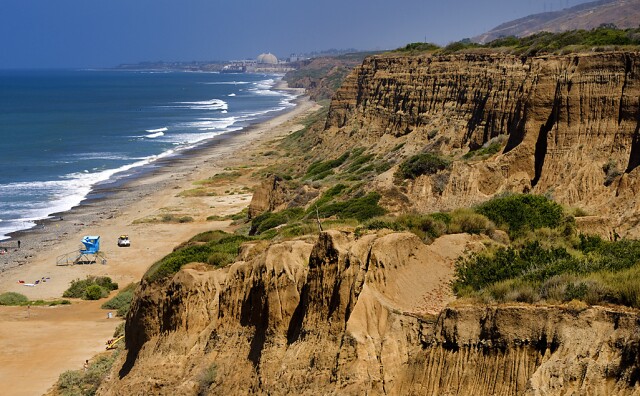
The state's parks department is working with stakeholders, including the military, to rebuild the San Onofre road, but no timeline has been given.
-
Built in 1951, the glass-walled chapel is one of L.A.’s few national historic landmarks. This isn’t the first time it has been damaged by landslides.
-
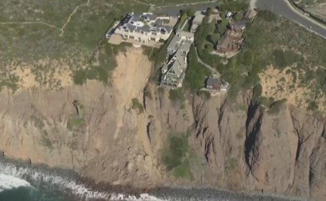
The climate crisis is destabilizing cliffs and making landslides more likely, an expert says.
-
Lifei Huang, 22, went missing near Mt. Baldy on Feb. 4 as the first of two atmospheric rivers was bearing down on the region.
-
Since 2021, volunteers have been planting Joshua tree seedlings in the Mojave Desert burn scar. The next session is slated for later this Spring, according to the National Park Service. Just like previous times, a few camels will be tagging along.
-
There are three main meteorological reasons why L.A. is so smoggy — all of which are affected when a rainstorm passes through and brings clearer skies.


