El Niño Is Here. Imagine What A Strong One Would Mean To Southern California

It looks like after three years of La Niña, we're officially contending with an El Niño climate pattern. The conditions are now present, and there's a greater than 50% chance that it’ll be a particularly strong one, according to an alert from the National Weather Service.
Its arrival is due in part to warming waters in the central and eastern equatorial Pacific, which NASA’s Sentinel-6 Michael Freilich satellite picked up over the past few months.
Along with those warming waters, the El Niño is associated with weakening trade winds, and impacts to atmospheric circulation, which can have all sorts of influences on weather patterns around the world.
(If you're wondering how this all fits in with Typhoon Mawar, the Category 4 cyclone that lashed Guam ... it doesn't. The El Niño had yet to start. Still, the National Weather Service warns that El Niño could increase the risk of stronger tropical cyclones slamming into Micronesia.)
Understanding climate patterns
-
The climate patterns known as El Niño and La Niña can have substantial impacts on the weather in California. They tend to develop some time around March, with one or the other coming along every three to five years, according to the National Oceanic and Atmospheric Administration.
-
What's the difference between them?
Here are the basics:
-
El Niño
- Tends to last 9-12 months.
- Occurs when trade winds weaken, and waters in the eastern and central equatorial Pacific warm.
- Can result in wetter weather in Southern California and drier weather further north.
-
La Niña
- Can last 1-3 years.
- Occurs when strong trade winds build, and waters in the eastern and central equatorial Pacific cool.
- Can result in drier weather in SoCal and wetter weather further north.
What it means for California
The most sizable impacts from El Niño are generally observed here during the late fall and winter months.

-
At magnitude 7.2, buildings collapsed
-
Now spinning in front of Santa Monica apartments
-
Advocates seek end to new LAUSD location policy
In the central and southern parts of California, it could mean an increased likelihood of cool and wet weather, as the jet stream that normally brings precipitation to the West Coast can shift south, pushing storms towards us instead of Washington and Oregon. This could potentially mean great news for snow in the southern Sierra Nevada.
Impacts can be more pronounced when the climate pattern is strong. In that case, we could see the cool and wet weather creep further north.
That said, there's no guarantee that next winter will be wet.
“El Niño basically shifts the probability or likelihood of certain types of events,” said Karen McKinnon, professor of statistics and the environment at UCLA. “But it’s not deterministic.”
Weather and climate are quite complicated, and all sorts of events like wildfires in Australia, can have sizable impacts we — and our models — don’t always anticipate.
What El Niño generally means for everyone else
Much of the southern U.S. could see wetter conditions as well. The northwestern U.S. and parts of the midwest could tend towards drier weather.

El Niño is associated with drier conditions in parts of Australia, Southeast Asia and Africa.
Globally, El Niño tends to push temperatures higher than normal as more of the heat that’s in the Earth’s system moves from the ocean to the atmosphere. Add to that the extreme warming we're already seeing as a result of climate change, and there's a 98% chance that one of the next five years will be the hottest on record for the globe, according to the World Meteorological Organization.
About our gray skies
That Southern California you might be missing has fallen victim to May Gray and June Gloom. The phenomena marks the transition from cool winter weather to scorching summer temperatures.

-
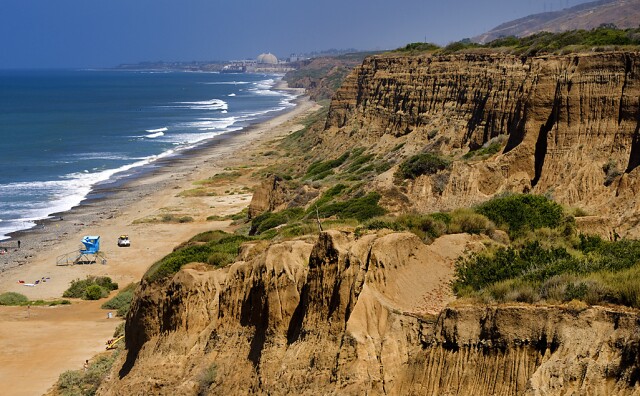
The state's parks department is working with stakeholders, including the military, to rebuild the San Onofre road, but no timeline has been given.
-
Built in 1951, the glass-walled chapel is one of L.A.’s few national historic landmarks. This isn’t the first time it has been damaged by landslides.
-
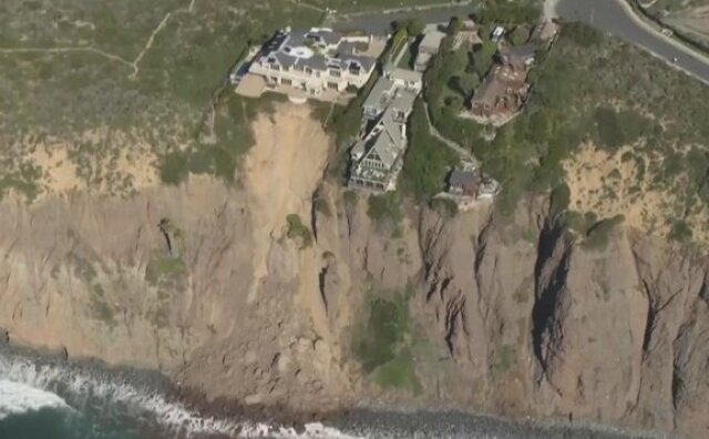
The climate crisis is destabilizing cliffs and making landslides more likely, an expert says.
-
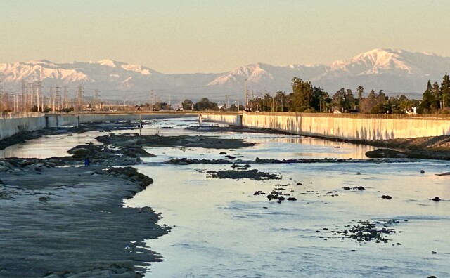
Lifei Huang, 22, went missing near Mt. Baldy on Feb. 4 as the first of two atmospheric rivers was bearing down on the region.
-
Since 2021, volunteers have been planting Joshua tree seedlings in the Mojave Desert burn scar. The next session is slated for later this Spring, according to the National Park Service. Just like previous times, a few camels will be tagging along.
-
There are three main meteorological reasons why L.A. is so smoggy — all of which are affected when a rainstorm passes through and brings clearer skies.


